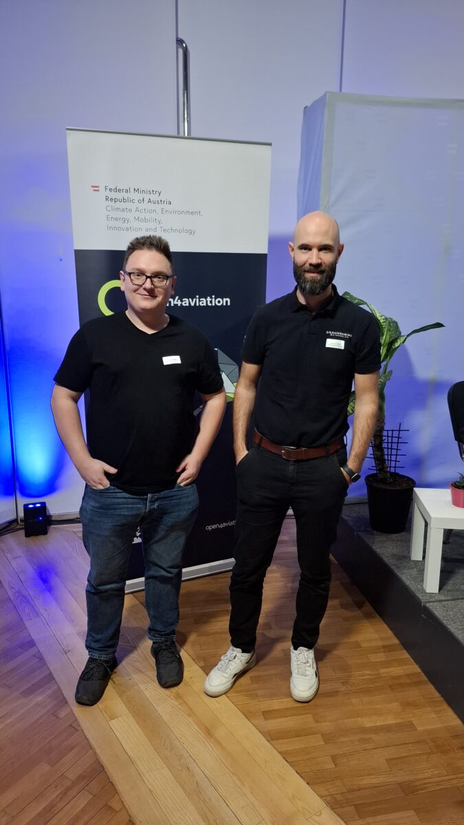
At Drohnenscan Huber OG, we leverage space technology to transform agriculture. Using AI-powered drones and ultra-precise RTK-smartphones with satellite-based positioning, we enable pinpoint weed detection. This innovative approach helps farmers reduce herbicide usage, increase efficiency, and promote sustainable farming. By combining high-accuracy GNSS with advanced image processing, we provide a cost-effective solution that integrates seamlessly into modern agricultural workflows. Our technology bridges the gap between space applications and precision farming, making smart agriculture more accessible and impactful.
USP
We combine AI-powered drones with ultra-precise, satellite-based RTK-smartphones to deliver cost-efficient, high-accuracy weed detection, enabling farmers to optimize herbicide use and enhance sustainability.
Target market
Our technology serves both organic and conventional farmers, agricultural service providers, and cooperatives seeking precise, data-driven weed management solutions.
Space connection
By utilizing GNSS-based RTK technology, including Galileo’s High Accuracy Service (HAS), we enhance the precision of drone-based weed detection, transforming satellite data into actionable insights for precision agriculture.
Team members

Johannes Huber
Michael Huber
Georg Roman Schneider
Mathias Bögl
Tobias Kneidinger