Space4Energy Hackathon

Space-based data and technologies for the future of the Energy sector
Earth Observation Ideas for a Better Future
Transform the future of energy with satellite data

Science Park Graz / ESA Space Solutions Austria and Green Energy Lab are organizing the Space4Energy Hackathon in October 2022, as cooperation partners of the Austrian Federal Ministry for Climate Protection, Environment, Energy, Mobility, Innovation and Technology (BMK). The goal of the Hackathon is to provide solutions based on satellite data and services, as an answer to specific challenges defined by industry players from Austria.
What is it about?

How could our increasingly integrated, sustainable energy systems benefit from the abundance of satellite data and services? Which applications of satellite data for the green energy future are conceivable and how are they designed? Bold and innovative ideas are called for here!

During the Hackathon, you will have the possibility to develop and present your idea addressing one of the challenges proposed by Austrian industry players from the Energy sector. You will receive mentoring from the challenge providers and coaching from experts on business and technical topics.

The best ideas will receive valuable cash prizes of EUR 8500 in total, as well as the opportunity for future cooperation with companies from the Energy sector in Austria!

When: October/November 2022

Where: Online / TU Graz, Austria

Who: Teams from startups, SMEs, professionals, students

NEW Registration deadline: October 15th, 2022 – 14:00 CET

Join us!
Reserve your spot at the Hackathon by registering now!

If you have any questions, get in touch with us at spacesolutions@sciencepark.at.
Space4Energy
Challenges for a green energy future
Space4Biomass by Austrian Federal Forests
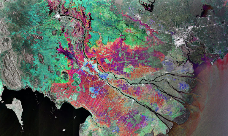
Windthrow events in forests - space-based impact assessment
We are witnessing an increase in the frequency and intensity of extreme weather events, such as windthrow or windsnap (trees being uprooted or broken by wind). Immediately after a damaging event, it is very difficult to determine the extent of damage with promptness and precision. Ongoing bad weather conditions and the resulting inaccessibility of the terrain are delaying the damage assessment and the clean-up response in the affected areas. The speed and precision of the damage assessment can decrease the negative impact for the forest and timber management companies.

Analysis of satellite data and automated detection of windthrow or windsnap will allow faster work organization after the harmful events. The availability of such solutions and technology will allow the industry to predict the quantity of timber trade resulting in reduced volatilities that follow such events, which in turn will improve the organization and processes behind damaged wood processing, capacity planning in wood logistics and the subsequent commercialization activities.
Space4Wind by ENERGIE STEIERMARK & RHEOLOGIC
Wind turbines
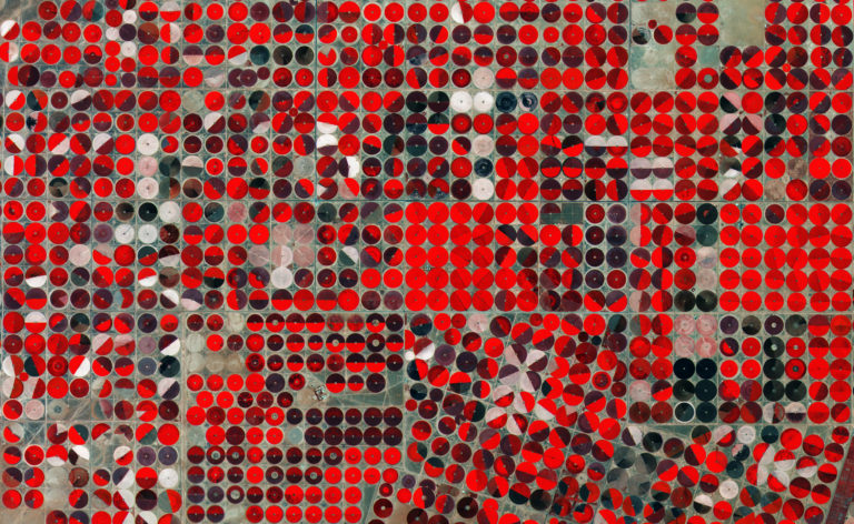
The potential output of wind turbines increases cubically with the wind speed. A modelling error of 26% in the wind speed means 100% (!) error in the power or yield forecast. For precise simulations of historical and future wind conditions in wind farms, high-quality, reproducible, machine-readable zonal roughness are necessary for a highly accurate forecast. The so-called roughness is often divided into broad classes that describe certain surface structures: fields, forests, meadows, industrial and residential areas, water areas, wasteland, etc.

In the engineering design of a wind farm, the determination of the wind potential and the continuous yield forecast, manual activities in the field of modelling and simulation are currently cost determining. In practice, the merging of different data sources into a consistent 3D model and the individual simulation and evaluation are the decisive cost factors. For this reason, rasterized data of pre-defined roughness classes are to be generated from satellite data and made accessible via an easy-to-control, well-documented, stable, open-standard-based interface (API) that will reduce manual work when merging data for modelling.
Space4SpatialPlanning by Project Partners of „Spatial Energy Planning for Energy Transition”
Spatial energy planning for regions to support the energy transition
Capturing the current structural development of cities is challenging. On the one hand, there are gaps in the data concerning more recent buildings and on the other hand, the continuous and frequent monitoring of the structural development is limited, resulting in lack of data related to the energy supply infrastructure. Continuously available up-to-date spatial data would improve urban development models (densification and new construction) and will add significant value not only for the energy-related spatial planning, but for urban and regional planning in general. In addition, there is a need for a solution that would provide coverage data for existing solar panels and help to identify potential locations for new ones.

The solution should supplement the available data and contribute to: (I) Data on new buildings not shown in other data sources; (II) Time series data that would allow modelling and analysis of the structural development over time; (III) Assessment of the possibility of automatic detection and development tracking of solar panels and dry coolers; (optional) (IV) Examine to which extent can EO data be used as a substitute for current data sources (such as laser scan, AGWR, energy certificates) in spatial energy planning.
Space4Thermal by KELAG & HAKOM
Using Localized High-Resolution Land Surface Temperature Products for Thermal Monitoring and Exploration
Providing heating and cooling for residential buildings and industrial processes contributes a substantial amount to the global greenhouse gas emissions. Finding untapped temperature differentials, improving heating-/cooling-efficiency and providing guidance for local policy makers in how to plan countermeasures to urban heat islands are crucial to meet the European net-zero emission goals. Today we already use maps to convey certain information to policy makers and plan actions and further investments.

Challenge proposes the creation of a high-resolution land surface dataset which should be tuned to usage for thermal management. The area of interest will encompass district heating networks and communities which are served by those networks. An optimal dataset would allow operators of the district heating network to monitor for inefficient thermal transfer and leakage over time while also having the potential to find potential untapped urban or natural heat sources (on the surface or near surface level).
Agenda
October 19th - November 4th 2022
All sessions will be virtual, except for the final event
  • October 19th, 14:00-16:00– Kick-off day: Opening session, introduction of challenges and team formation
  • October 20th, 14:00-16:00 – Technical (EO data) session with Sentinel Hub and EODC
  • October 27th – Business model workshop (10:00-12:00) and Pitch training (14:00-16:00)
  • October 31st – Submission deadline (14:00 CET)


  • November 2nd, 13:00-15:00 – Selection: pitches and jury meeting
  • November 4th, 17:00 – Final event and award ceremony (in person in Graz, Austria @Science Park Graz)
Austrian Space Strategy 2030+
Vision for Austria’s Space Sector for 2030+
People, climate and economy: Space is for EVERYONE

The Austrian Space Strategy 2030+ pursues the following six goals:

  • Sustainable development on Earth and in space.
  • Competitive space sector with high added value and sustainable jobs in Austria
  • Scientific excellence for space and Earth exploration
  • Space for all areas of life
  • Talent and diversity for space
  • Space dialogue with the population
  • For each of these goals, sub-goals and short- to long-term measures are defined, which fall under the responsibility of the BMK. These will be supplemented or expanded as implementation progresses.
  • Alongside Austria’s participation in missions at the European and international level, an important part of its space-based activities focuses on the benefits for society.
    Space-based data and services offer significant benefits for sustainable policy-making and innovative solutions in fields such as climate protection and environmental monitoring, land use, renewable energy, mobility, weather and disaster management. In addition, space helps foster the green and digital transformation of our society and economy.
    Space data and services play an important role in connection with the Mobility Master Plan 2030 and the implementation measures in the RTI Mobility Strategy, in the implementation of the Austrian Energy Research Strategy, and overall in the implementation of the government’s goal of making Austria climate-neutral by 2040.

    Read more here!

    Organizers
    ESA Space Solutions Austria, Green Energy Lab and the Federal Ministry for Climate Protection, Environment, Energy, Mobility, Innovation and Technology (BMK) have started a dialogue to find out where and how satellite data and services create significant added value for the energy sector. Subsequently, challenges for the Space4Energy Hackathon will be developed from these application areas and concrete use cases. The hackathon will ultimately bring space solutions for the energy sector to the ground.
    • BMK
    Challenge Partners
    Austrian companies from the Energy sector have presented challenges to be solved by leveraging the power of EO data!
    Hackathon Partners
    We are joining forces with experts, institutions and data providers from space-related domains to create a strong support network for the Hackathon!
    • Technical University Graz
    • The Austrian Research Promotion Agency | FFG - FFG
    • EODC
    Newsletter

    Sign up for our newsletter to stay up to date on community news, project highlights and upcoming events.