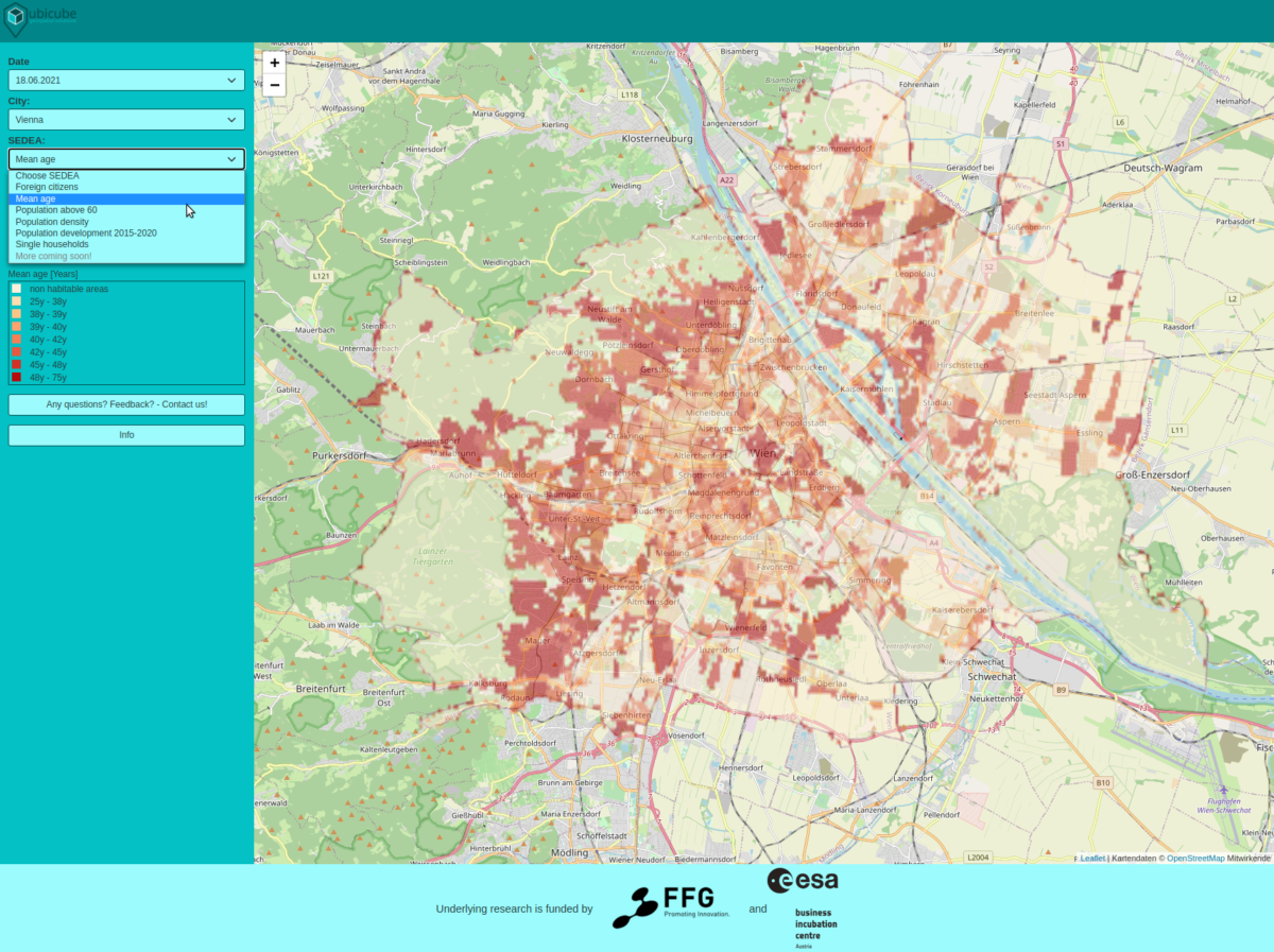
Urban areas are heterogeneous. Within a settlement, the demographic and economic population composition of local neighborhoods usually varies significantly. Knowledge about these spatial patterns and their change over time is extremely valuable for enterprises to minimize risks in business decisions. However, accurate and timely economic and demographic data remain scarce, as their traditional generation methodologies (census and surveys) are time-consuming and not standardized. To solve this problem, ubicube is developing a technology to estimate these data sets using Big Geodata. Our dedicated ML algorithms use satellite imagery and POIs to investigate relationships between geotagged data and the real-life manifestation of specific indicators (e.g. population density, household income, day-/-nighttime population). With this Geo AI system in place, we are capable of mapping arbitrary indicators at an unprecedented level of detail, in a standardized and scalable manner.
USP
Based on the nature and innovativeness of our solution as well as our interdisciplinary team of experts, our services entail some significant advantages in comparison to the ones of our competition:
- With our technology, it is possible to derive fine-scale demographic and economic information for any given time and geographic area at a consistent quality.
- The demographic and economic data sets we produce are completely independent of any administrative boundaries and can be provided at different spatial resolutions.
- Our approach also allows for the extraction of historic data and their trends, thus enabling our technology to even predict the future development of demographic and economic indicators
Target Market
Real Estate, Retail, Urban Planning
Space Connection
At ubicube we leverage space-related data (satellite imagery and POIs) to extract timely and accurate demographic and economic indicator maps, which our clients from sectors like Real Estate, Retail, or Urban Planning successfully use to improve their business intelligence make qualified decisions.

